
Memphis ZIP Code Directory Coverage
The current Memphis ZIP code directory is best read as a postal grouping tool. The USPS scheme captured for this research groups primary and specialized ZIPs under a postal name, then the local address and map sources resolve the physical point. The table preserves those groups rather than pretending each row is a city-boundary map. The Post Office column therefore gives the USPS postal-name group shown in the research, not an invented station assignment. Specialized, PO-style, and unique delivery ZIPs require a full-address check.
| ZIP | Areas Covered | Post Office | Notes |
|---|---|---|---|
| 38101, 38150-38151, 38159, 38194, 38197 | Specialized Memphis delivery group | USPS label: MEMPHIS 38101 | Unique or PO-style components; verify the address |
| 38103, 38163, 38173 | Downtown and central postal group | USPS label: MEMPHIS 38103 | Do not infer a ward or council district |
| 38104-38105, 38174 | Midtown and central postal group | USPS label: MEMPHIS 38104 | Use a parcel for a legal boundary check |
| 38106, 38126 | South Memphis postal group | USPS label: MEMPHIS 38106 | Postal context only |
| 38109, 38190 | South and southwest postal group | USPS label: MEMPHIS 38109 | Check the municipal line |
| 38111, 38152 | University and east-central postal group | USPS label: MEMPHIS 38111 | 38152 can be specialized delivery |
| 38112, 38182 | North and central postal group | USPS label: MEMPHIS 38112 | 38182 may be specialized delivery |
| 38115, 38181, 38193 | Southeast Memphis postal group | USPS label: MEMPHIS 38115 | Specialized components need an address check |
| 38116, 38131-38132, 38186 | South and airport-area postal group | USPS label: MEMPHIS 38116 | Verify the city limit |
| 38117, 38137, 38157, 38177 | East Memphis postal group | USPS label: MEMPHIS 38117 | Specialized ZIPs need an address check |
| 38118, 38130 | South-east and industrial postal group | USPS label: MEMPHIS 38118 | Postal context only |
| 38119-38120, 38161, 38166, 38187 | East and northeast postal group | USPS label: MEMPHIS 38119 | Includes specialized ZIPs |
| 38125, 38141, 38175, 38188 | Hickory Hill postal group | USPS label: HICKORY HILL 38125 | Compare the postal label and city boundary |
| 38127, 38167 | North Memphis postal group | USPS label: MEMPHIS 38127 | Postal context only |
| 38128, 38168 | North and east-north postal group | USPS label: MEMPHIS 38128 | Postal context only |
| 38133, 38135; 38134, 38184 | Nearby Bartlett postal groups | USPS labels: BARTLETT 38133 and 38134 | Not automatically Memphis |
| 38138-38139, 38183 | Nearby Germantown postal group | USPS label: GERMANTOWN 38138 | Use city and county GIS for the location claim |
Memphis postal names can sit near or outside a city boundary, and Bartlett, Germantown, and Hickory Hill use their own postal designations. The ZIP result is only the first check. A full address, municipal layer, parcel city field, and tax-district field provide the necessary second and third checks.
Memphis ZIP Code Postal Groups
USPS delivery geography, a municipal boundary, and a neighborhood map answer different questions. USPS normalizes where an item is delivered and reports the preferred postal city. Memphis GIS can show ZIP, neighborhood, council, and city or municipality layers. The Shelby parcel services add address components, city name, parcel ID, and tax context. Keep each answer labeled by its source rather than making one result do all three tasks.
The city-level grouping is useful for narrowing a large search, especially when the postal label itself is unfamiliar. It is not a census of residents or a list of every carrier route. The current USPS City State Product is a monthly raw-data product, so its current label should not be pushed backward into an old deed, letterhead, newspaper, or directory. Preserve the ZIP printed on the historical item and record today’s result separately.
Map check. A Memphis postal name is delivery context, not proof that the address lies inside Memphis city limits. Confirm that claim with a local boundary or parcel layer.
USPS Steps for a Memphis ZIP Code
Use the official postal tool before a ZIP-based record search. It has three visible paths: ZIP Code by City and State, ZIP Code by Address, and City/State by ZIP Code. The address route standardizes a delivery address and tells the user to use that route when more than one ZIP may apply. That is more reliable than choosing a ZIP from a broad city list, particularly near an edge or when a specialized ZIP appears in the record.
| Field label | Type | Required | Options or format notes |
|---|---|---|---|
| City | Text | For ZIP Code by City and State | Enter the city, then select the state |
| State | Dropdown | For ZIP Code by City and State and address search | Select Tennessee for a Memphis check |
| Street address | Text | For ZIP Code by Address | Use a residential or corporate street address with city and state |
| ZIP Code | Text | For City/State by ZIP Code | Enter the ZIP, then select Find |
| Find | Submit control | Yes | Runs the selected USPS lookup path |
The USPS ZIP Lookup supplies those controls and its delivery normalization result. If a source record has an old or partial address, save that original form before testing a normalized form. An address that returns multiple possibilities needs more street detail, not a guess.
Memphis ZIP Code Directory Map Layers
Memphis GIS is the local map layer for the geographic half of a ZIP question. Its service exposes ZIP, neighborhood, council district, city or municipality boundary, census block group, parks, landmarks, floodplain, and transportation layers. Use the ZIP layer for orientation, then turn to the boundary and parcel information for a location statement. When a ZIP crosses a neighborhood or council boundary, report the ZIP as postal context and use GIS for civic geography.
The official Memphis GIS map service provides the city’s available map layers.
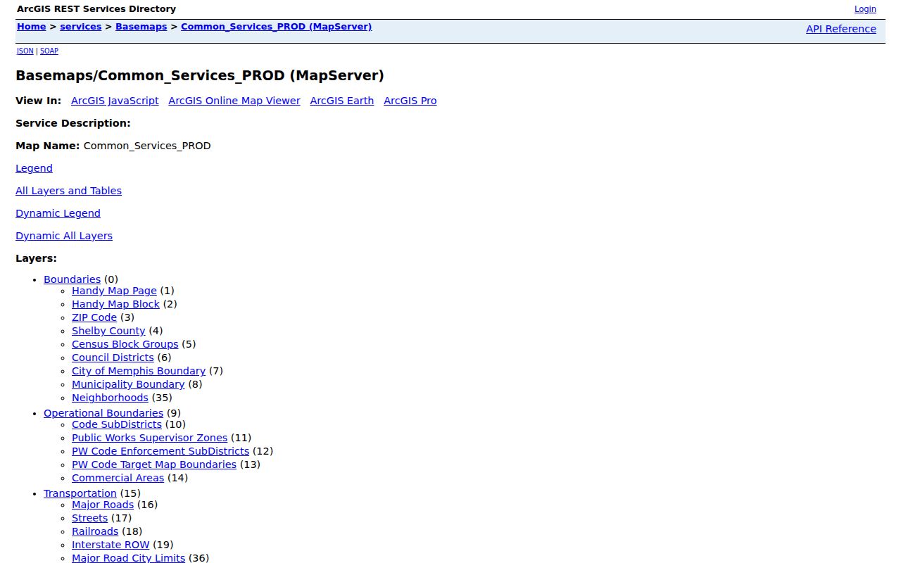
The map service supports Identify, Find, Query, and Export, but its 2,000-record maximum means a broad query can be incomplete. Narrow by layer and geometry, then document the query date and result scope.
Note: A ZIP-wide map response can be truncated, so it should not be treated as a complete address inventory.
Memphis ZIP Code Parcel Checks
For an address-level question, use the county parcel layer after postal normalization. The Register GIS accepts street number, street name, owner name, parcel ID, and tax map ID. Its detail can show property address, parcel ID, appraisal, tax district, tax map, lot, subdivision, plat book and page, coordinates, owner-address fields, recent property records, and historic aerials. The county Assessor layer exposes a map and 15-character parcel ID, while ParcelOwnDetails includes ZIP and ZIP+4 address components.
The Shelby County Assessor parcel layer is a useful companion to the city map.
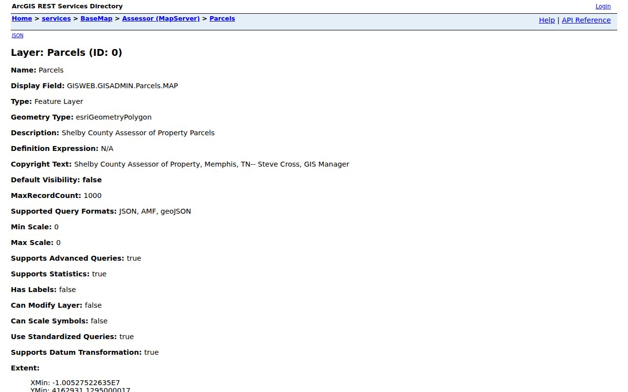
Parcel layers support queries, statistics, pagination, and distance searches, but the result needs a current-source check. The Register GIS warns that its map data reflects the April 2019 certified tax roll and is not an exact survey or a guarantee of current legal ownership boundaries.
Finding Residents in a Memphis ZIP Code
A ZIP can narrow the geography for a Memphis search without creating a list of people. Begin with an address, not a name, and make the source limits part of the result. The Register’s Address Search accepts address, start date, end date, city, ZIP, subdivision, and up to three instrument-type selectors, although city, ZIP, and subdivision are not supplied on every document. Its records are document leads, so verify any hit in the instrument image or with the Register.
- Preserve the original address and use USPS ZIP Code by Address to obtain the delivery-normalized address and ZIP.
- Compare the result with the Memphis ZIP and municipality layers. Record the postal city and the municipal result as separate fields.
- Use the Register address search with the street name, then add dates, ZIP, city, subdivision, or instrument type only when supported by the document question. The portal suggests omitting direction and street type for a first pass, such as MAIN rather than N MAIN ST.
- Check the parcel ID, city, tax district, and nearby geometry in county GIS. An owner correspondence field is not proof of occupancy.
- For a person-specific voter question, use the statewide lookup’s county, first name, last name, birth month, and birth year fields. It does not offer a ZIP filter; voter-list requests have Tennessee-citizen and political-purpose restrictions.
Once the ZIP is narrowed to a named street, use the Memphis street directory for the full address-record chain. That approach keeps postal geography separate from an unsupported inference about a person.
Memphis ZIP Code City-Limit Mismatches
ZIP boundaries and Memphis city limits do not use the same geography. A Memphis postal label may sit near or beyond a municipal boundary, while the Bartlett, Germantown, or Hickory Hill label can identify a nearby postal grouping. The address needs a separate municipal check before a result is described as being in Memphis. City and county GIS, parcel city fields, and tax-district information are better evidence for that question than the postal label alone.
A full-address comparison is also needed for historical work. A present ZIP can reflect a postal reorganization rather than a move, annexation, or street change. Keep the source spelling and ZIP, add the current USPS result, and compare parcel, cross street, municipal label, and map year before deciding what changed.
Memphis ZIP Code Directory Terms
Postal terms can look more exact than they are. They describe delivery and sorting choices, while a parcel identifier or city boundary describes a different kind of geography. Use each term in its narrow sense, especially when a record has more than five ZIP digits or is tied to a specialized delivery group.
- ZIP and ZIP+4
- The five-digit ZIP identifies a delivery area. ZIP+4 adds a more specific delivery segment and appears in the county address-component fields.
- PO-box ZIP
- A ZIP used for post-office boxes or a specialized postal purpose. It should not be placed on a residential map without an address-level source.
- Unique ZIP
- A ZIP associated with a specialized delivery arrangement, often requiring a full-address or USPS check instead of a broad location claim.
- Carrier route
- A postal delivery grouping within a ZIP. It is delivery context, not a city-limit or neighborhood boundary.
Note: Use an address-level postal result before assigning a specialized ZIP to a physical point.
Memphis ZIP Code Historical Caution
A ZIP can be added, split, reassigned, or given a preferred city name without a matching municipal change. The official sources reviewed did not supply a complete historical realignment timeline for Memphis. Treat the current USPS City State Product as current-only evidence and do not infer an earlier ZIP from a present one. This is particularly important when a deed, directory, letterhead, or newspaper prints a ZIP that does not match today’s lookup.
The county ZIP map is useful for visual orientation, but it carries a non-legal-survey disclaimer. Historical location claims need the record’s own date, a map from the relevant period where available, and current parcel or boundary checks kept separate.
Memphis ZIP Code Research Notes
A short research note makes a ZIP conclusion reproducible. Keep the original address line, USPS-standardized line, ZIP, postal city, municipal city from GIS, parcel ID, tax district, coordinates where used, date observed, and source. That shows which part of the conclusion comes from delivery geography and which part comes from the parcel or municipal map. It also preserves a defensible trail when a later source returns a different postal label.
| Original form | Copy the address and ZIP exactly as they appeared in the source record. |
|---|---|
| Postal result | Record the USPS-normalized address, ZIP, postal city, and the lookup date. |
| Map result | Save the city or municipality layer, neighborhood context if relevant, and map-service date. |
| Parcel result | Keep the parcel ID, city field, and tax district as available from the county source. |
| Uncertainty | State whether a result is current-only, a partial map response, or a source that still needs a custodian check. |
That sequence makes a ZIP code directory useful without turning it into a claim about municipal boundaries, a current address, or an individual’s identity.